A field network that is always under control
Organize sensors, stations and irrigation system components into a farm network that you can monitor remotely, even when devices are distributed across different areas.
Bluleaf IoT
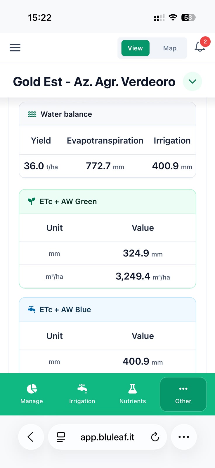
Keep weather data, sensor readings and irrigation automation under control at all times. The information collected keeps the water balance and DSS tools up to date, helping you assess field conditions and act with greater awareness.
Request a consultation
Build a network of sensors and irrigation systems distributed across your fields and remotely monitor what is happening on the ground.
Organize sensors, stations and irrigation system components into a farm network that you can monitor remotely, even when devices are distributed across different areas.
Review data through charts and KPIs, define the thresholds to monitor and receive a notification when they are exceeded. This helps you quickly identify conditions that require attention.

Control valves, pumps, control units, sensors and pressure alarms remotely. Depending on the device, completed irrigation events are recorded directly in the DSS.

From the sensor network to actuator control, essential functions remain together in one operational experience.
View the location, status, installation date and latest transmission of field devices.
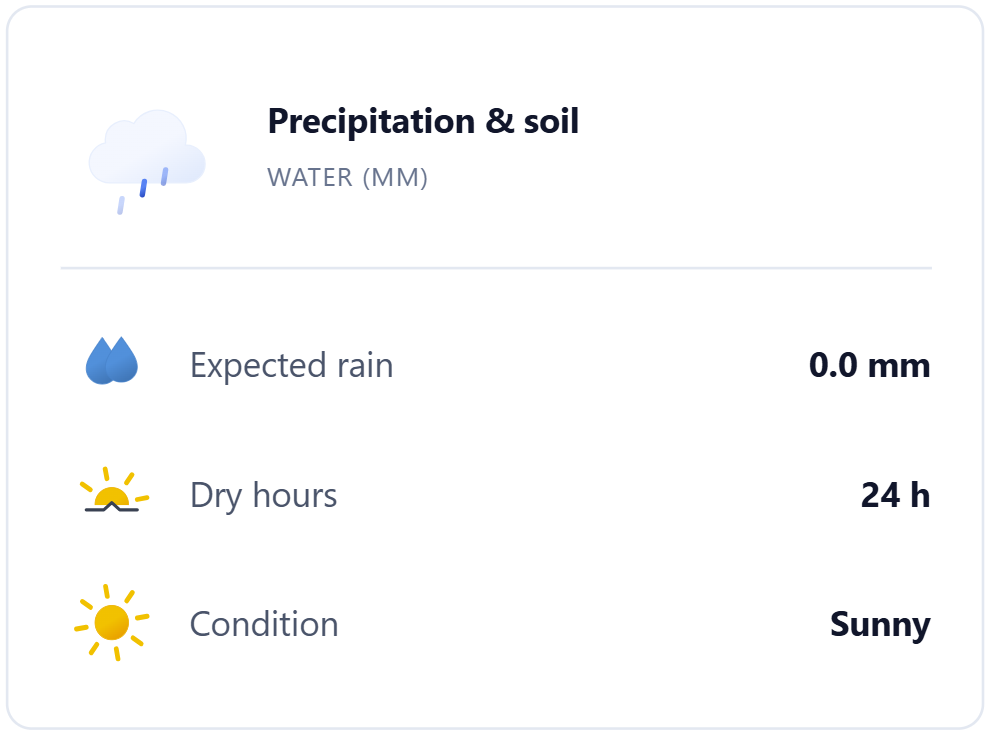
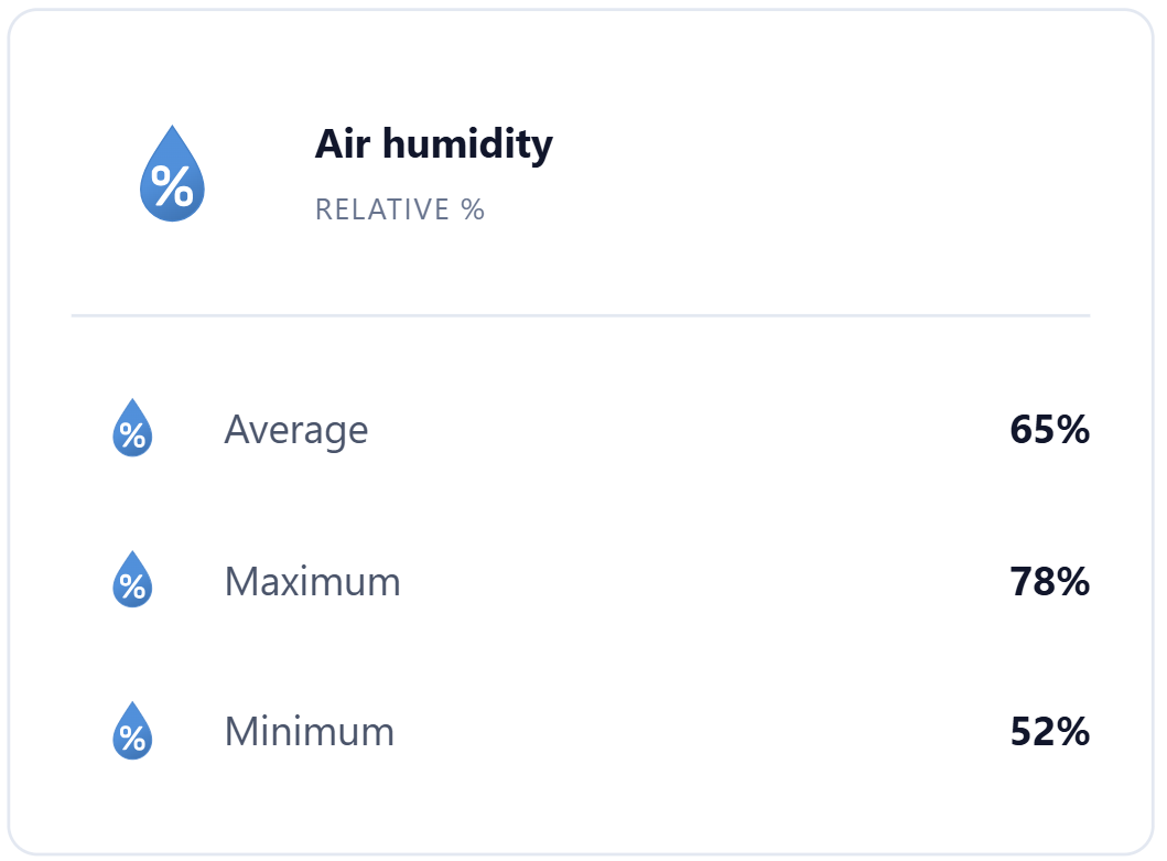
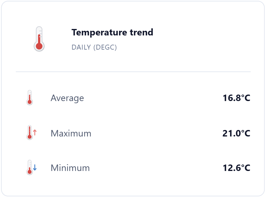
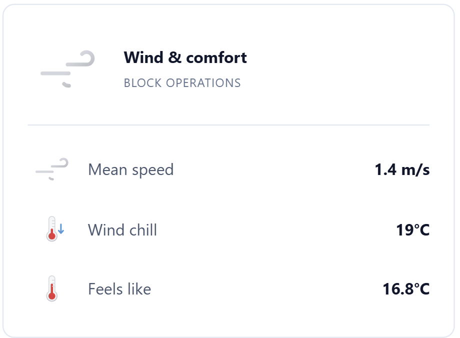
Monitor rainfall, temperature, humidity, solar radiation, wind and leaf wetness.
Track variables measured in the soil, on the crop and across the farm’s different microclimates.
View hourly or daily data and choose predefined or custom periods.
Compare measurements from different sensors and stations and add custom thresholds.
Calculate chilling hours, degree hours and degree days for the selected period and station.
Define commands and activation times according to the irrigation plan.
Check status and manage the system even when devices are distributed across different locations.
View the entire network of stations, sensors and actuators on the map and track the measurements collected at each location over time. Geolocated historical data takes you from day-to-day monitoring to more accurate agronomic analyses and more in-depth technical assessments.